New Yorkers should prepare for more snow by the end of the week, days after the city recorded its first significant snowfall of the season, according to meteorologists.
A storm system currently dumping precipitation on Western states is expected to reach the five boroughs by Friday or Saturday, the National Weather Service said.
“Another late week storm system eerily reminiscent of the early week storm will bring another bout of precipitation to the area Friday into Saturday,” the NWS said in its Tuesday morning forecast.
However, it remains unclear if that precipitation will arrive in the form of rain or snow. The NWS said there were numerous factors that could tilt the weather one way or another.
“At this time, forecast includes a change to rain at the coast Friday, with a mix inland,” according to the Tuesday update.
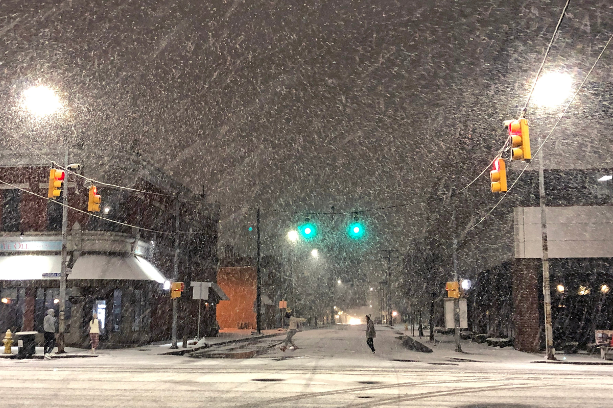
An early week storm dropped varying amounts of snow across the city. Less than an inch was recorded in Central Park, according to the NWS, while the Bronx saw 5.6 inches and JFK Airport was covered in 1.5 inches.
That storm crossed the country after coating notoriously sunny Southern California with a light dusting. The follow-up storm also brought snow to California on Monday and Tuesday, though it was concentrated to higher elevations. An avalanche warning was issued near Lake Tahoe.
The system is expected to move across the Midwest during the week, with snow possible from Kansas City to Detroit, according to AccuWeather.
“Arctic air will be absent from this system when it initially moves across the central United States, which means the heavy snow threat will need to be generated mainly through the strength of the storm itself,” AccuWeather meteorologist Matt Benz said.
“If this storm is slow to strengthen, snowfall may not be especially heavy over the Central states.”