Tsah Creek and Finger Lake wildfires latest to prompt evacuation orders in northern B.C.
A regional district in northern B.C. has issued two evacuation orders due to the risks from the Tsah Creek and Finger Lake wildfires.
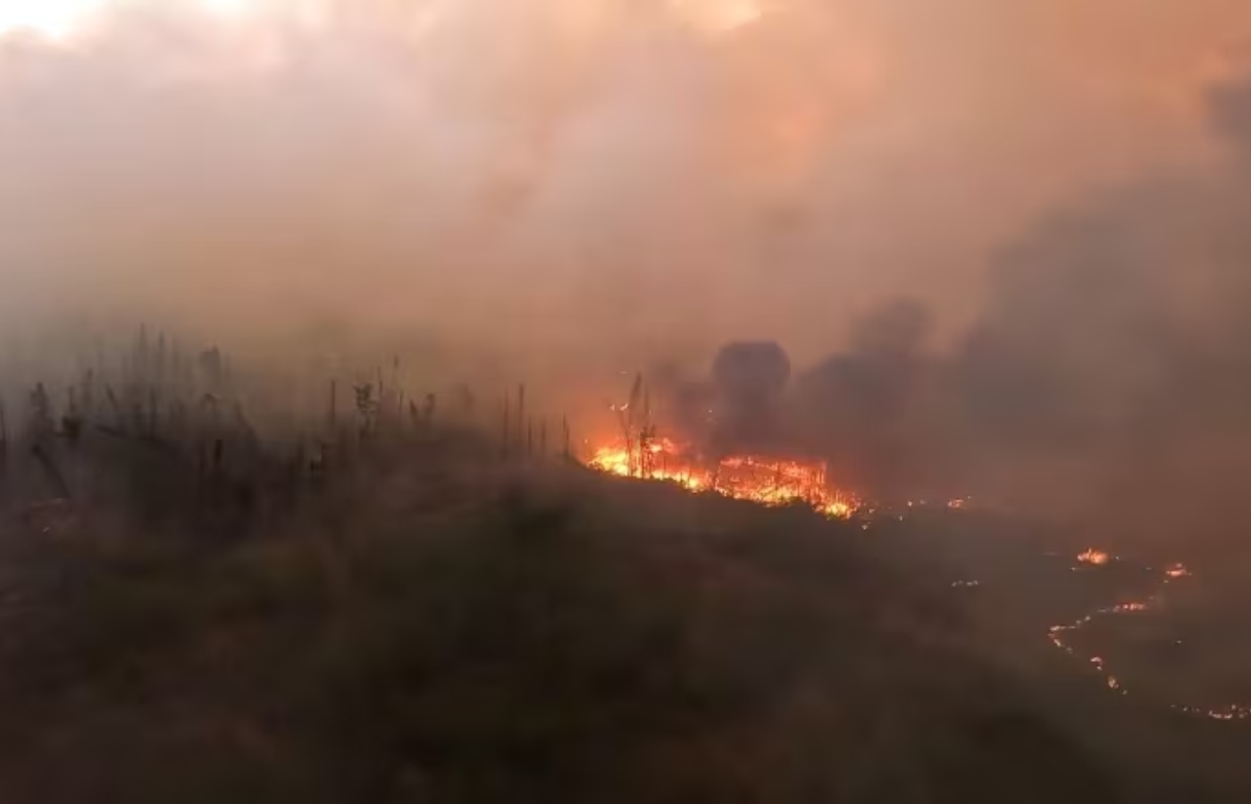
The Regional District of Bulkley-Nechako says the danger posed by the Tsah Creek wildfire has prompted the evacuation order for all properties on either side of Highway 27 in the vicinity of Echo Lake and Bearcub forest service road. An evacuation alert was also issued Sunday morning for properties further north along the highway.
Late Saturday night, the Ministry of Transportation and Infrastructure closed a 12-kilometre stretch of the Highway 27 corridor between Blue Mountain Road and Kenner Road as a precautionary measure after the wildfire breached control lines.
The road was reopened early on Sunday morning, according to DriveBC, which says that limited visibility is likely in the area due to dense smoke.
It is just the latest evacuation order to be posted in B.C., which saw dozens of new fires sparked over the weekend, affecting hundreds of residents in the province’s north.
The regional district, along with the Saik’uz First Nation has also ordered the evacuation for all properties to the south of the Bobtail Connector and Kluskus Forest Service Roads, in the vicinity of Finger Lake, as the Finger Lake wildfire continues to burn out of control. The order includes two resorts, which have been evacuated already.
On Saturday, Recreation Sites and Trails B.C. and the Regional District of Bulkley-Nechako issued an evacuation order for Kager Lake campsite and Trails and Boer Mountain trail system due to the danger posed by the Tintagel wildfire.
That fire is also burning out of control, covering 2.5 square kilometres and continuing to spread. Evacuation alerts cover 144 properties in the area near Burns Lake.
Emergency alerts have been issued by the Cariboo Regional District due to wildfire risks in the Townsend Creek and Branch Road area.
The first alert was issued Saturday evening for eight parcels covering about 25 square kilometres due to the Townsend Creek wildfire.
The blaze was discovered that afternoon, and is believed to have been sparked by lightning. It is listed as burning out of control, and currently covers 1.1 square kilometres east of Margaret Lake.